B'Tselem 28 February 2007
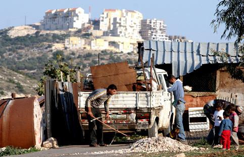
Palestinian metal collectors work in front of one of the Israeli settlements near the West Bank city of Qalqilia, 10 December 2006. (MaanImages/Magnus Johansson)
In early January, the Civil Administration’s Supreme Planning Council approved the amended outline plan for the new neighborhood in the Modi’in Illit settlement, which is located west of Ramallah. The plan for the neighborhood, called Matityahu East, took effect on 23 February and retroactively “rendered fit” forty-two buildings, containing hundreds of new housing units, that were built in violation of the relevant planning and housing laws. Twenty-two of these forty-two buildings were built, according to the Civil Administration and the State Attorney’s Office, pursuant to building permits that the Modi’in Illit Local Council issued illegally, given that no valid outline plan existed for the area. The other twenty buildings were built by construction companies and developers that did not have building permits. Most of the apartments have been sold to Israelis and some are occupied.
The neighborhood lies completely on land belonging to the Palestinian village of Bil’in , which lies to its east. In the early 1990s, most of the land was declared “state land.” Village residents appealed the declaration to the Civil Administration’s Appeals Committee, contending that the land was privately owned. The Appeals Committee held, in September 1992, that 183 dunams (of the 780 dunams) covered by the declaration orders were under cultivation and, therefore, could not properly be registered as state land.
In the framework of a petition filed by Peace Now in 2006 against the illegal construction in the settlement, it was learned that, contrary to the Appeals Committee’s decision, those 183 dunams were in fact registered as state land. The recently approved plan for the construction of hundreds of housing units involves this land. The state argues that the registration was proper: following the Appeals Committee’s decision in September 1992, the Committee cancelled its original decision at the request of the Civil Administration, on grounds that a “scribe’s error” had been made. In addition to the impudence in relating to such a significant decision as a “scribe’s error,” it was subsequently learned that the Appeals Committee cancelled its earlier decision without carrying out a hearing and without even notifying the Palestinian landowners or their attorneys.
In February 2005, the government approved the amended route of the separation barrier in the area of Modi’in Illit, and construction of this section has been almost totally completed. The barrier separates Bil’in from most of its residents’ farmland lying west of the village. This farmland includes, in addition to the land on which “Matityahu East” is built, hundreds of dunams that are now under cultivation. This additional land is undisputedly privately owned by residents of Bil’in.
Research conducted by B’Tselem and Bimkom in December 2005 revealed that, in 1998, the Housing Ministry and the Civil Administration prepared a “master plan” for the area of Modi’in Illit. This plan attached to “Matityahu East” 600 dunams of privately-owned Palestinian land, which now lies between the settlement and the barrier, on which more than 1,000 housing units are planned. This plan has no official status, but clearly expresses the Israeli authorities’ intention to continue their land grab.
Related Links